Crummock Water
Crummock Water is one of three lakes in the Buttermere valley, one of the most picturesque areas of the Lake District. Buttermere, Crummock Water and Loweswater occupy this long glaciated valley leading North and West towards Cockermouth and the coast.
Buttermere and Crummock Water were originally one large lake, but were separated by material brought down by the mountain streams over thousands of years. Crummock Water is the longest of the three but is often ignored by visitors in favour of its smaller neighbour, Buttermere, so it offers a quieter alternative for the photographer if you are willing to walk a short distance.
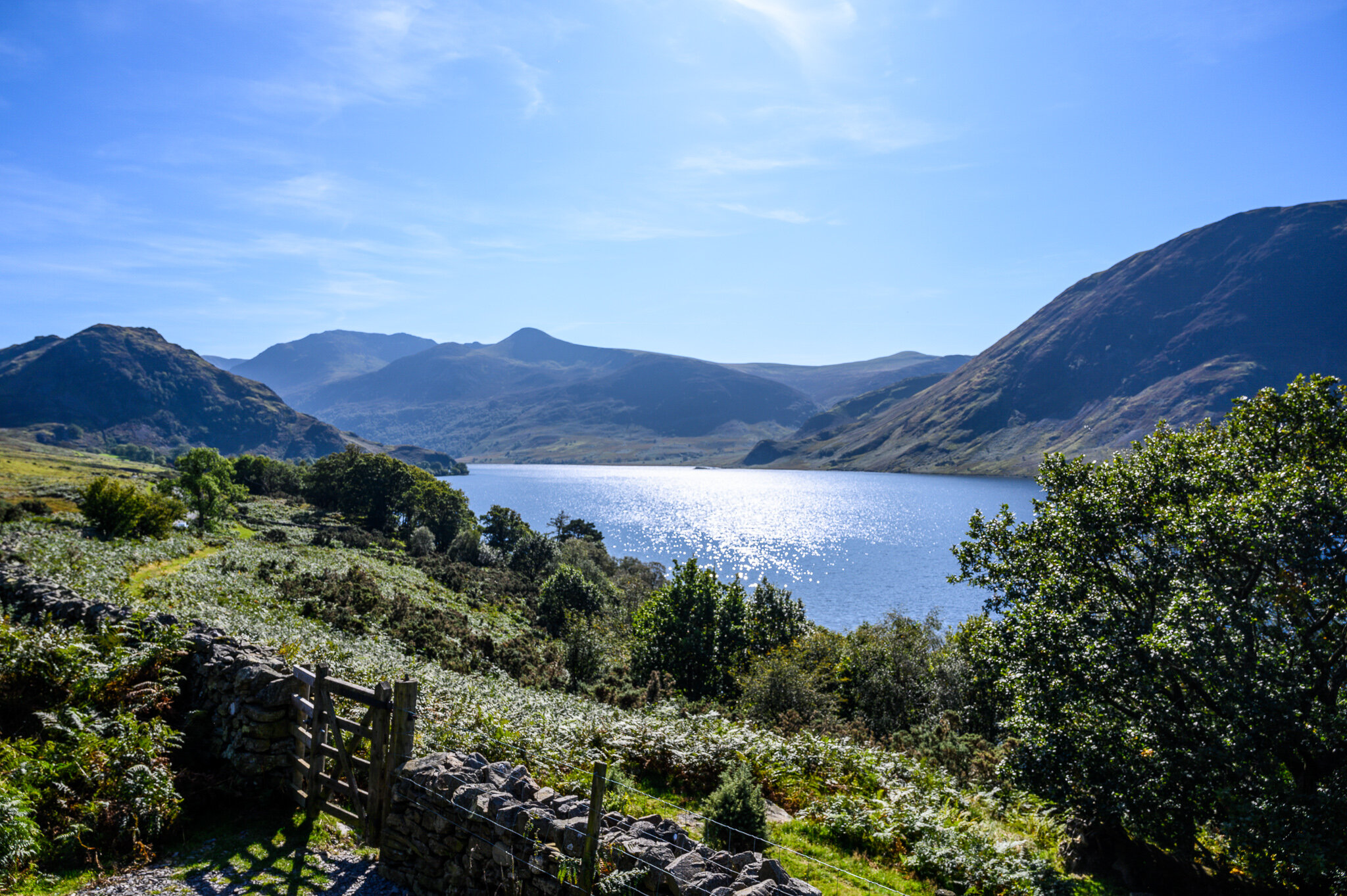
There is a National Trust Car Park at Scalehill Bridge towards the north of the lake that has a easy track to the lake shore. The views from here along the length of the lake towards Rannerdale Knotts and High Stile are some of the best in the Lake District. There is a weir where the lake flows into the River Cocker that can be quite photogenic. From here there is a circular path that leads around the lake, although the views from the northern end of the lake are the most impressive
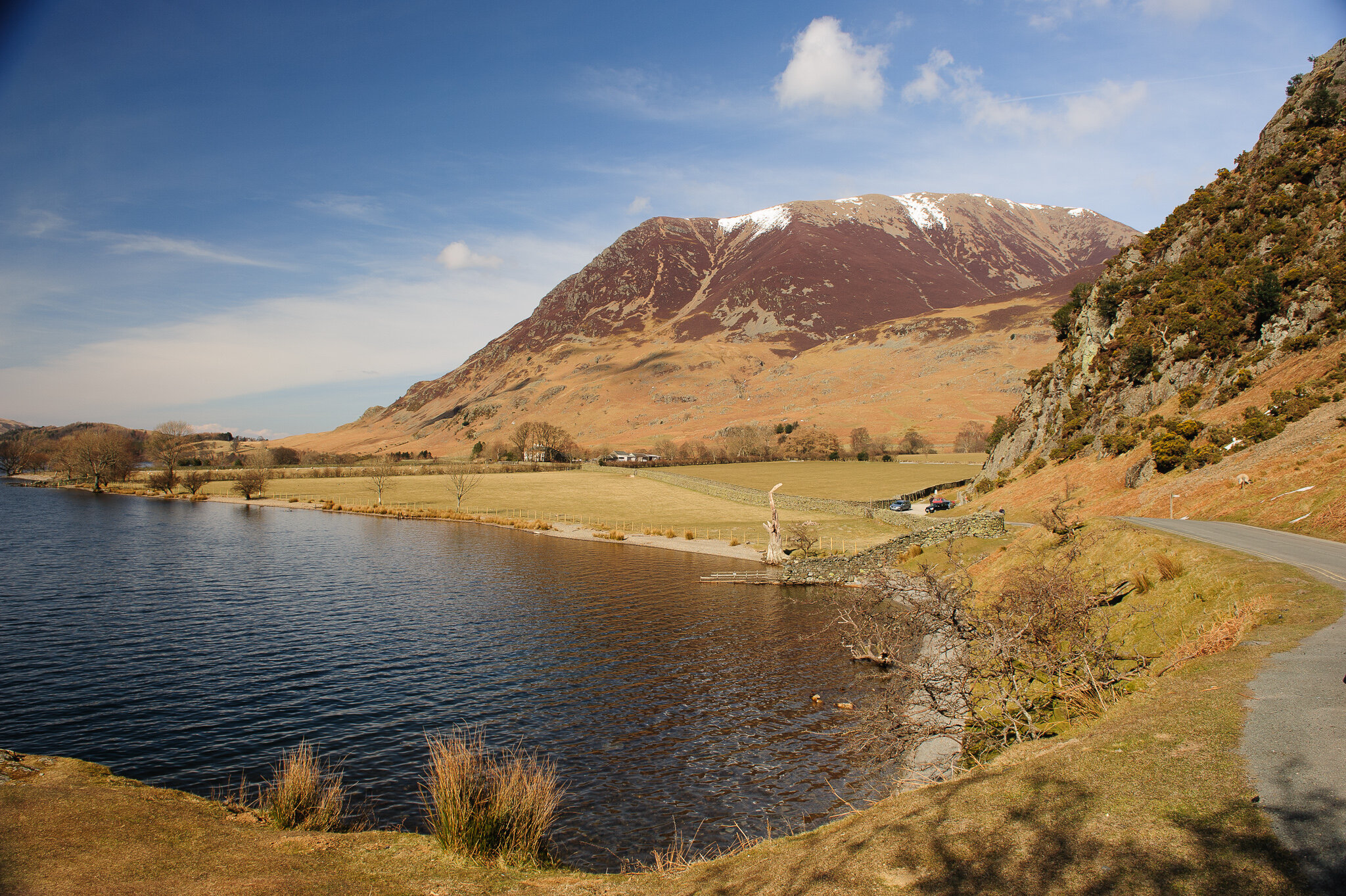
Crummock Water, is closely followed by the road, with many vantage points looking towards the dramatic slopes of Melbreak and easy access to the Rannerdale valley. In the springtime, Rannerdale Knotts towards the southern end of the lake offers spectacular views with a stunning carpet of ancient bluebells
Crummock Water from B5289 near Cinderdale Common with Rannerdale Knotts (left), High Stile (centre) and Mellbreak (right)
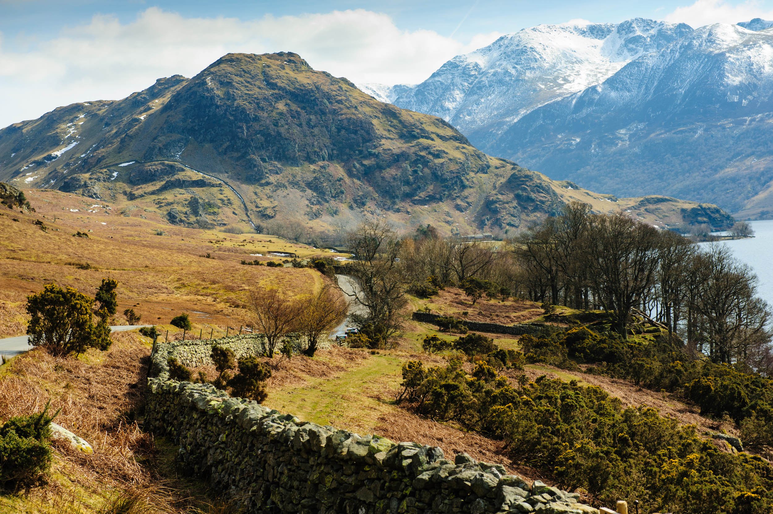
The B5289 heading towards Rannerdale Knotts
The footpath around Crummock Water also leads to nearby Scale Force, the highest waterfall in the Lake District.
Looking back along Crummock Water towards the mighty Grasmoor from Rannerdale Knotts
The B5289 from Cockermouth follows the shore of the lake and there are plenty of places for parking to photograph the lake with Mellbreak in the background. The road continues on to Buttermere a little further on for more photo opportunities. Alternatively, you can park at either Scalehill Bridge or Lanthwaite Green Farm. Both of these points have footpaths through Lanthwaite Wood to the northern shore of the Lake. In addition, you can also park at Buttermere Village (pay and display) and walk up to the southern end of the lake.
Getting There:
Take the B5292 Lorton Road from Cockermouth towards High Lorton. Just before the village turn on to the B5289 for Low Lorton and Buttermere. For the car park a the northern end of the lake bear right at the fork in the road at Brackenthwaite heading towards Loweswater (bearing left takes you alongside Crummock Water towards Buttermere). Go past Scalehill Hotel and Holiday Cottages and go down the hill. At the bottom of the hill turn left into Scalehill Bridge car park in the woods just before the bridge. A path leads from the car park to the lake shore.
For access along the side of the lake, return up Scale Hill and take the turning for the B5289 towards Buttermere. The road follows a little stream with boulders and rocks before passing over a cattle grid. Shortly after the cattle grid there is a car park for about 20 cars at Lanthwaite Green Farm. Continue along the road until you see Crummock Water. There are a number of places to park along the road as well as a further car park at Rannerdale Knotts.
Scalehill Bridge Car Park Grid Ref: NY 149 215
Lanthwaite Green Farm Car Park Grid Ref: NY 158 207
Rannerdale Knotts Car Park Grid Ref: NY 162 193


