Haweswater
Haweswater is one of the lesser-visited lakes in the Lake District due to the lack of facilities and poor accessibility. For this reason, it is also one of the more tranquil areas of the national park.
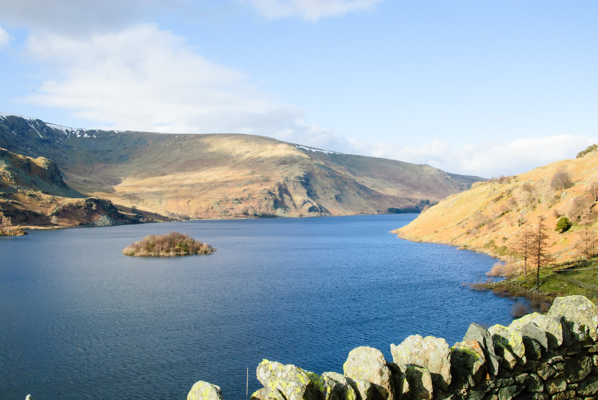
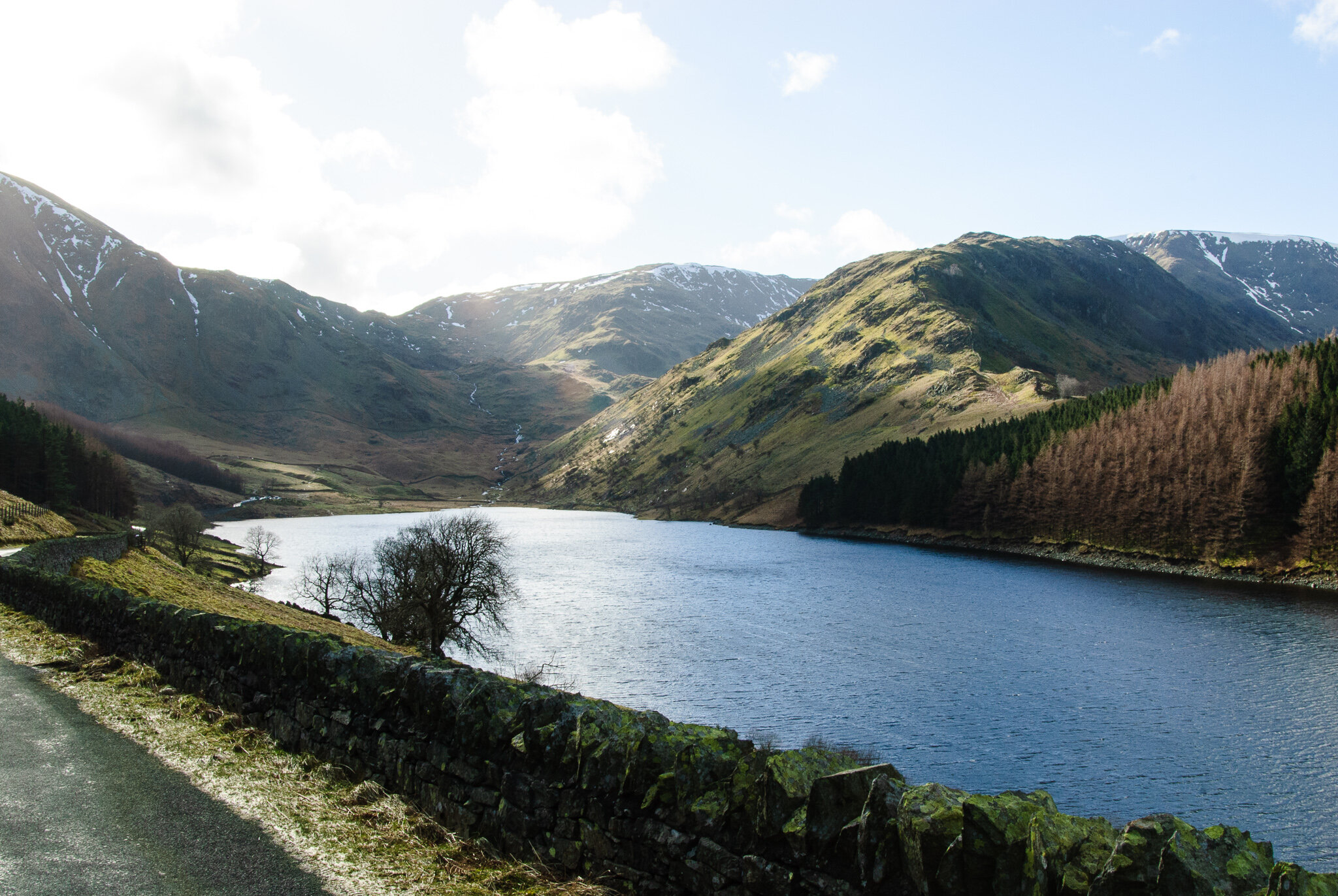
Haweswater reservoir stretches out from the road at the Haweswater Hotel
Haweswater was originally a natural lake about 2.5 mi long in the valley of Mardale in the eastern Lake District. A strip of land at Measand divided the lake almost in two. The upper and lower reaches of the lake were known as High Water and Low Water. Work to raise the height of the original natural lake was started in 1929. It was controversially dammed to provide drinking water to the city of Manchester. The decision caused a public outcry because the farming villages of Measand and Mardale Green were flooded and the valley altered forever. When the valley was flooded, the dam raised the water level by 95 ft, creating a reservoir 3.7 mi long and up to ⅓ mile across at its widest point. It can hold up to 84 billion litres of water.
Haweswater is one of the lesser-visited lakes in the Lake District due to the lack of facilities and poor accessibility. For this reason, it is also one of the more tranquil areas of the national park, and offers a number of walking routes with spectacular scenery. The head of the valley is dominated by Branstree, Harter Fell, Mardale Ill Bell, High Street and Kidsty Pike, and features the tarns of Small Water and Blea Water, the deepest mountain tarn in the Lake District.
Looking along Haweswater Reservoir towards Mardale Head
Access to the reservoir is via a single track road leading south from the village of Bampton, close to Shap along the eastern side of the lake to replace the flooded highway lower in the valley, and the Haweswater Hotel was constructed midway down the length of the reservoir. The road continues to the western end of Haweswater, to a car park, a popular starting point for walkers.
Today, when the water in the reservoir is low, the remains of the submerged village of Mardale Green can still be seen, including stone walls and the village bridge.
Haweswater encompasses 30 square kilometres of mossy woodland, rushing streams, moorland, heath and bog, set within its dramatic mountainous landscape. The RSPB work in partnership with United Utilities to manage the site for people, water and wildlife, with active farms running alongside thriving upland wildlife such as red squirrels, salmon, ring ouzel, alpine wildflowers and mountain ringlet butterflies.
Getting There:
Aim for the small village of Bampton, 10 miles south of Penrith and five miles north-west of Shap. From Bampton, head south following signs for Haweswater reservoir. Drive down the road alongside the Haweswater reservoir, which ends at the Mardale Head car park.
There is a United Utilities car park at Haweswater, located at the southern end of the lake at Mardale Head. There are a limited number of spaces here and the car park does fill up quickly. A small number of spaces are also available in the hamlet of Burnbanks on the northeastern edge of the lake.
Mardale Head Car Park Grid Ref: NY468 107
Burnbanks Car Park Grid Ref: NY 507 161


