Maryport & Solway Coast
Maryport is a pretty harbour town in West Cumbria with lovely views along the Solway Coast Area of Outstanding Natural Beauty (AONB).
Maryport, originally known as Alauna, was established around 122 as one of several Roman fortifications in Cumbria. It was built as a command and supply base for the coastal defences at the western end of Hadrian’s Wall and the fort and bathhouse at Ravenglass. The town contains substantial remains of the Roman fort, which was the last in a series of mileforts that stretched southwards along the coast from the wall. After the Roman withdrawal from Britain the town diminished in size and importance without its military presence.
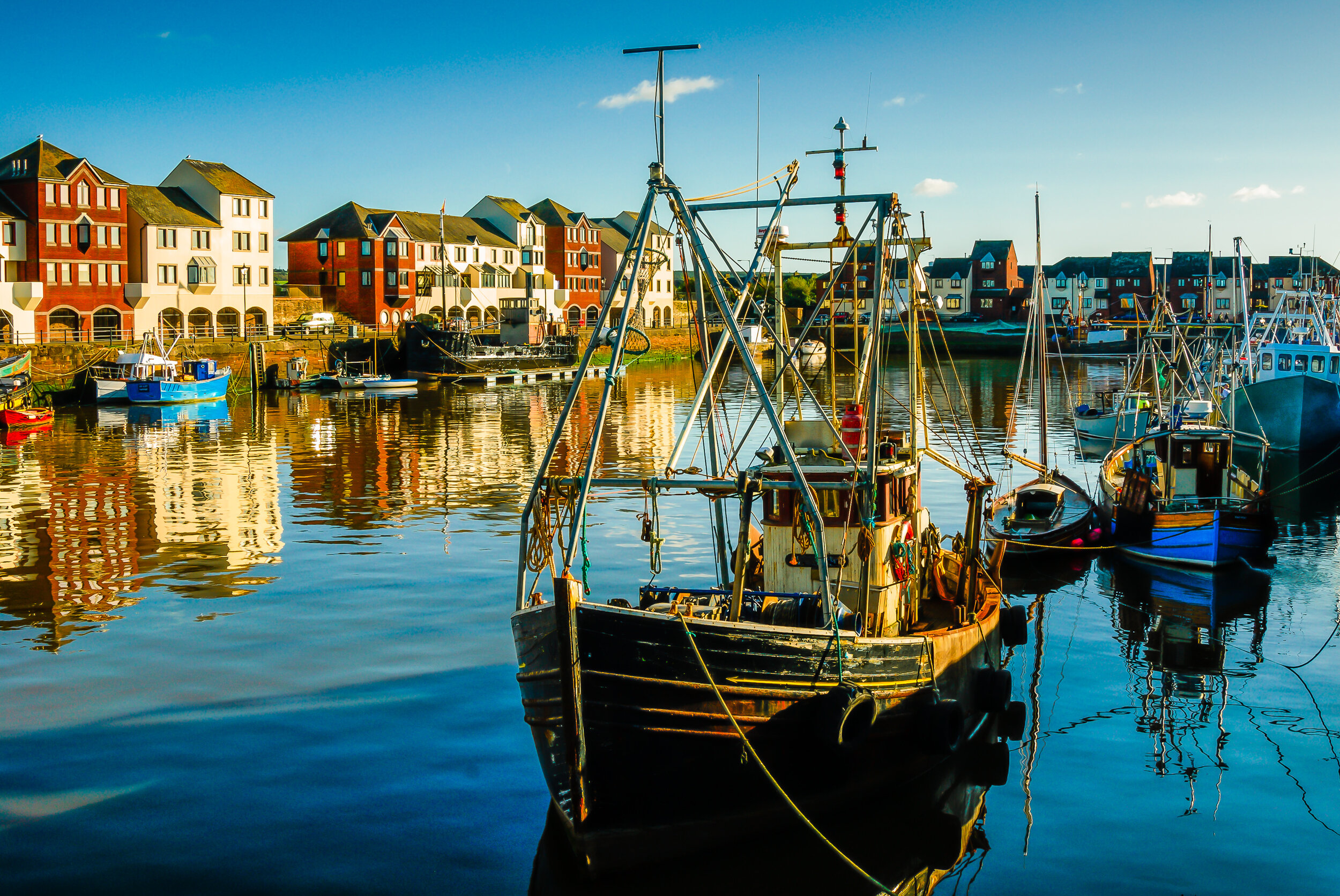
Trawlers moored in Maryport’s Elizabeth Dock, with the recently refurbished Ritson’s Wharf in the background.
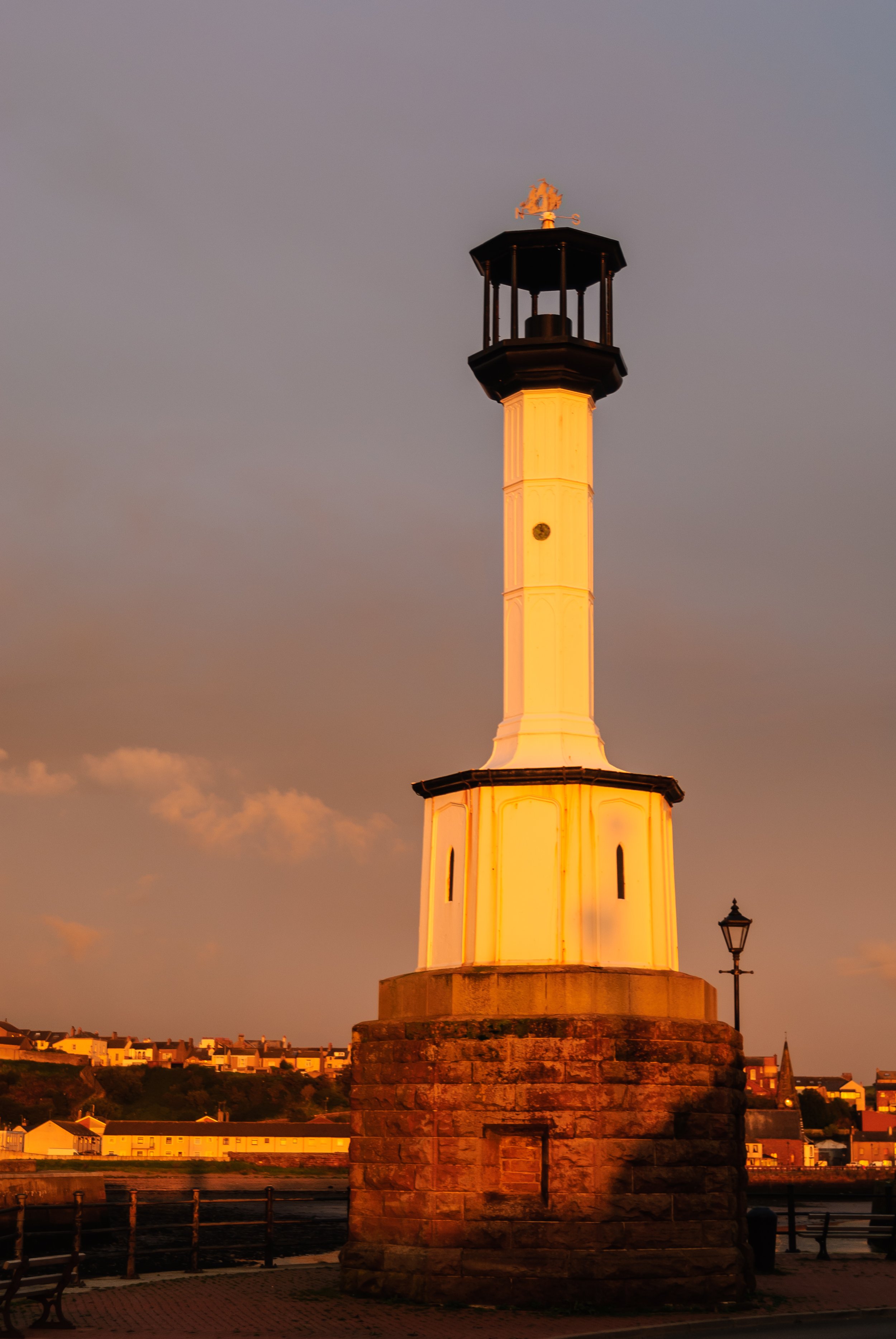
Maryport’s historic octagonal cast iron lighthouse dating from 1846.
The Senhouse Roman Museum is next to the site of Alauna, and has a replica wooden watch-tower overlooking the fort and the sea. The museum houses a remarkable collection of 17 Roman altars found at the site, believed to be one of the finest such collections in the whole Roman Empire.
For many years the town was named Ellenfoot but the name was changed by the Senhouse family as they began developing the town as a port, following the example of Whitehaven on the Cumbrian coast, 20 or so miles to the south. In 1749 Humphrey Senhouse named the new town and after his wife Mary.
The town quickly developed as an industrial centre throughout the 19th century. An iron foundry opened and the port developed along with shipyards, such as Wood's yard and Ritson's yard, which was famous for launching ships broadside into the River Ellen because the river was not wide enough to allow ships to be launched the usual way. By this time, coal mines were operating all around the town, at Ellenborough Dearham, Broughton Moor, Gilcrux and Birkby.
Maryport has an octagonal cast iron lighthouse, thought to be the first of its construction type built in England and possibly one of the world's oldest cast iron lighthouses. It is believed that the first light at Maryport was established in 1796. The current cast iron lighthouse dates from 1846, the same date as the towns' timber pier and is 9.75m high and sits on a 3.5m diameter octagonal masonry base. .
The lighthouse is sited on a bend in the dock wall, at the start of the pier, and is now disused. Its function was taken over by a concrete tower on the end of the pier, now in turn replaced by a short pyramidal aluminium tower (1996) that runs on mains electricity and is administered by Trinity House.
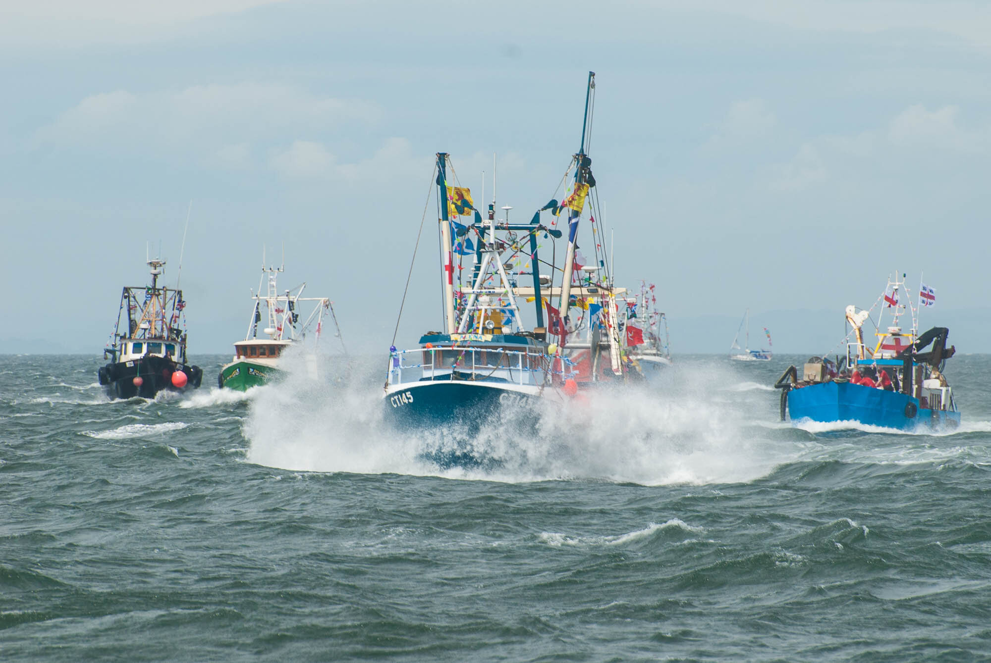
Maryport’s annual trawler race in support of local charities
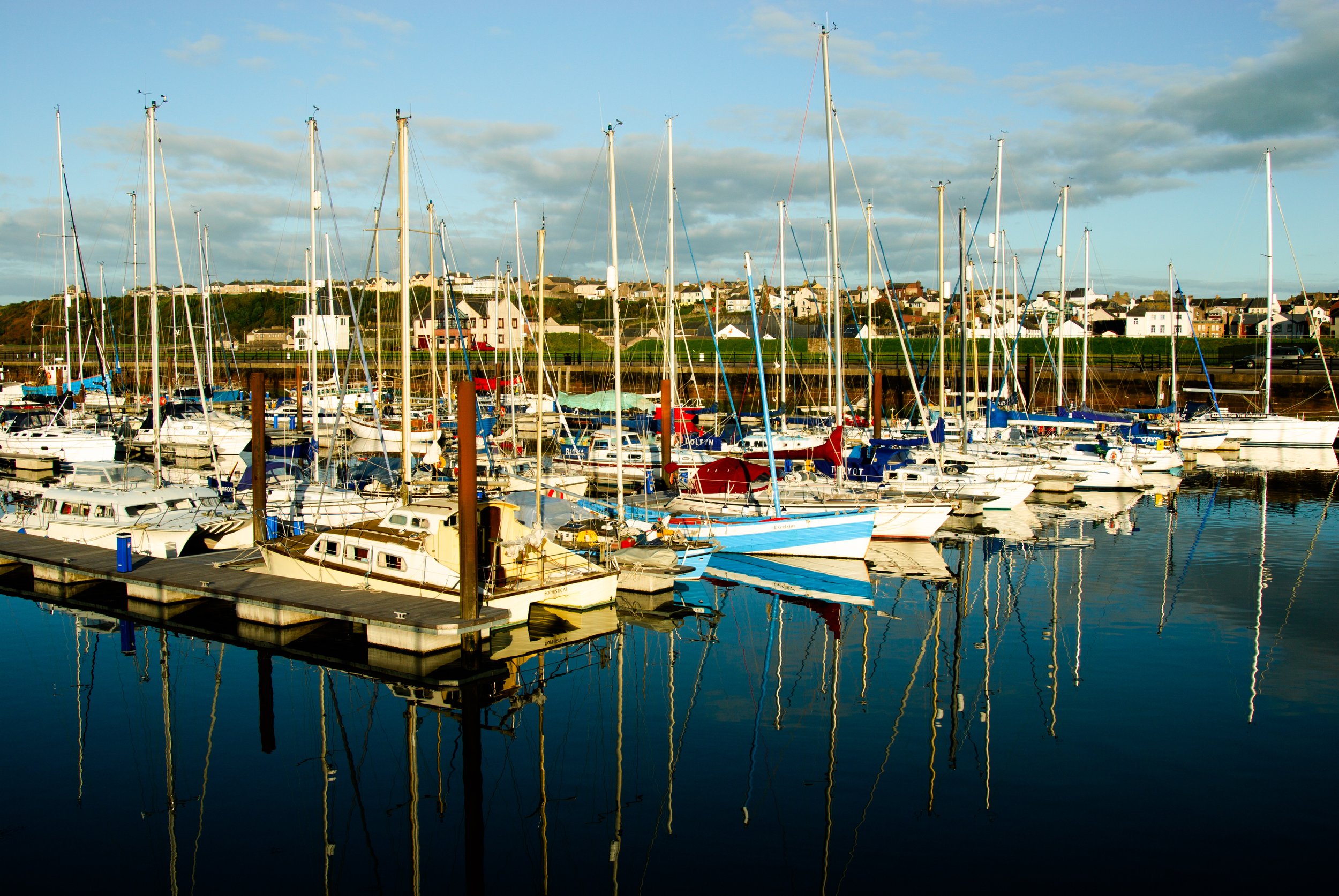
Today, there have been a series of major regeneration projects such as the yacht marina, and tourist attractions such as an aquarium and the Wave Centre that have brought new life into the town. Maryport is famous for its annual charity trawler race and blues festival. While the town is not within the Lake District National Park, it is recognised as the starting point for the Solway Coast Area of Outstanding Natural Beauty (AONB).
Yacht marina at Maryport
From Maryport, head northwards on the A595 signposted towards Carlisle. Turn left at the first junction after passing the school, and join onto the B5300 signposted for Silloth and Allonby. Follow the road past the golf course and along the Solway coast.
There are a number of car parking areas in the sand dunes to the left side of the road although access points are often hidden until you are almost at them - so care needs to be taken with following traffic!
The views across the Solway Firth towards Scotland are stunning.
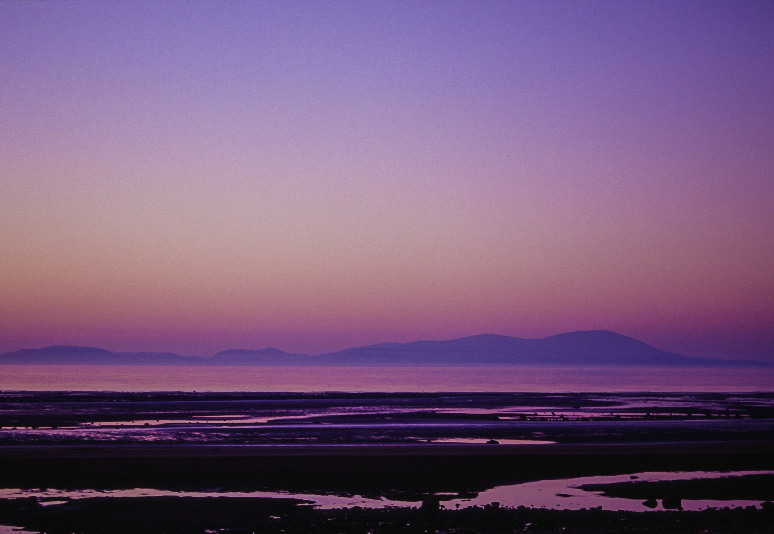
View across Solway Firth from near Allonby with the hills of Dumfries and Galloway in the distance
After approximately 5 miles the road passes through Allonby where there are some larger car parks and places for refreshments. A path leads along the sea front and down to the beach areas.
Stay on the B5300 through the village and for a further 2½ miles to Mawbray, where you can find Mawbray Banks Nature Reserve car park. There are a number of paths around the small reserve which has some of the finest sand dunes in the Solway Coast AONB. These dunes are unique habitats and home to rare animals like the natterjack toad which breeds in the shallow pools in the reserve (it can be recognised by a yellow band on its back and yellow eyes).
The dune grasslands merge into an area of dune heath, which is now very rare in Cumbria. The dunes are also important for breeding and roosting birds such as oystercatcher, curlew, stonechat, the rare little tern, bartailed godwit and ringed plover.
One of this area’s best kept secrets is a submerged forest – even some of the locals don’t know that it’s there. It’s a mysterious place dating back 8000 years which has had little research – it’s thought to be pine or oak, which has been hidden off the coast by the sea. It’s sometimes visible if the tides are right.
Continue on for a further through Beckfoot and Blitterlees until you arrive at the cobbled streets of the Victorian sea-side resort of Silloth. The town has a large town green right in its centre, with a long promenade providing good views of the Solway Firth and across the water to Scotland.
Silloth marks the northern end of the Solway Coast Area of Outstanding Natural Beauty and the town has an AONB Discovery Centre, which is a great way to find out about the seabirds, wild flowers, special landscapes and heritage of the area. The natural indentation of the Solway Firth also influenced the building of Hadrian’s Wall in AD 122.
Silloth was also an important port as well as a sea canal route into Carlisle (which was later closed and converted to a railway). The port still operates today.
Go through the cobbled area and turn right onto Criffel St, B5302, signposted for Skinburness and Wigton.
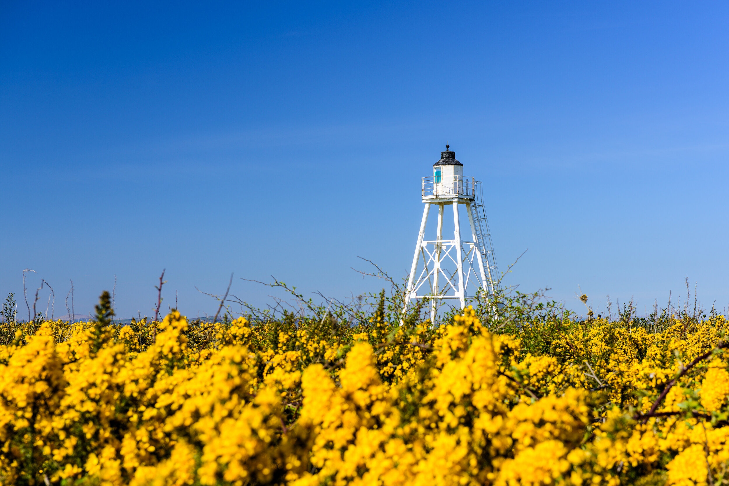
The white wooden tower of the East Cote lighthouse stands out against the yellow gorse flowers and clear blue sky
The East Cote lighthouse is located a short distance along the road on the seafront and was built in1841 to guide vessels between Port Carlisle and Annan on the Solway Firth. In the 1850s the 12m tall tower was mounted onto a short track so that the light could be moved according to the position of the navigation channel (which varies). The current lighthouse was rebuilt in 1997 by Associated British Ports to replicate its original style.
Continue along the B5302 to Skinburness and pass through the village and over the cattle grid to Grune Point, a raised shingle beach area. Continue onwards until you reach the T junction and turn left, staying on the B5302 towards Wigton, passing through Calvo, Abbeytown and Waverbridge until you reach the junction with the A596. Turn right and head towards Workington.
Head southbound on the A596 until you return to Maryport.
This route is a total distance of approximately 45 miles and a travelling time of about 1½ hours.

